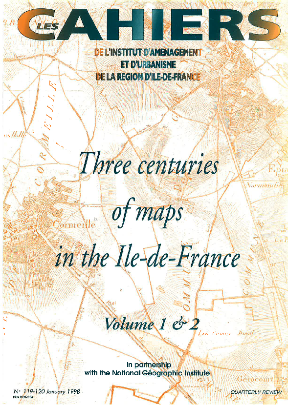
Three centuries of maps in the Ile-de-France
Old maps captivate us because of their beauty. They are illustrations of their time. These maps, made for governing, also tell us about the life of the land, with its pathways, its villages and its names.
In the last century, the map became an administrative tool, a tool of the State in its role of regional planner. It was used to describe but above all to measure.
The 20th century map, essentially through colour, has once again become an image - an image accessible this time to all and not just to the governing classes. The map has also become a practical, almost utilitarian, instrument no longer used only by technicians but by the public at large to accompany them on all their trips, whether on foot, by car or sailing.
On the map, spaces and movements are revealed, presented and organised. The map illustrates and underpins the whole.
The map - image of a landscape, tool for its development, witness of the past and prefigurements of the future - holds a certain fascination for us because it opens up the doors to imagination and fantasy.
This study is linked to the following theme :
Urban planning